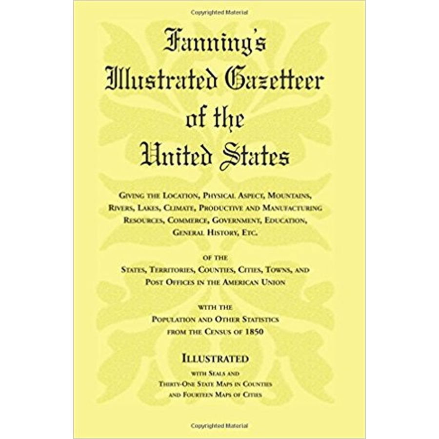
Fanning's Illustrated Gazetteer of the United States
Couldn't load pickup availability
Giving the location, physical aspect, mountains, rivers, lakes, climate, productive and manufacturing resources, commerce, government, education, general history, etc. of the States, Territories, Counties, Cities, Towns, and Post Offices in the American Union, with the population and other statistics from the census of 1850, illustrated with seals and thirty-one state maps in counties, and fourteen maps of cities
A browser's delight, and perhaps the gateway to an ancestor's hometown which can no longer be found on modern-day maps.
(1855), 2007, 5.5" x 8.5", paper, illustrated, maps, 400 pp.
ISBN: 9781556133718
101-F0371
