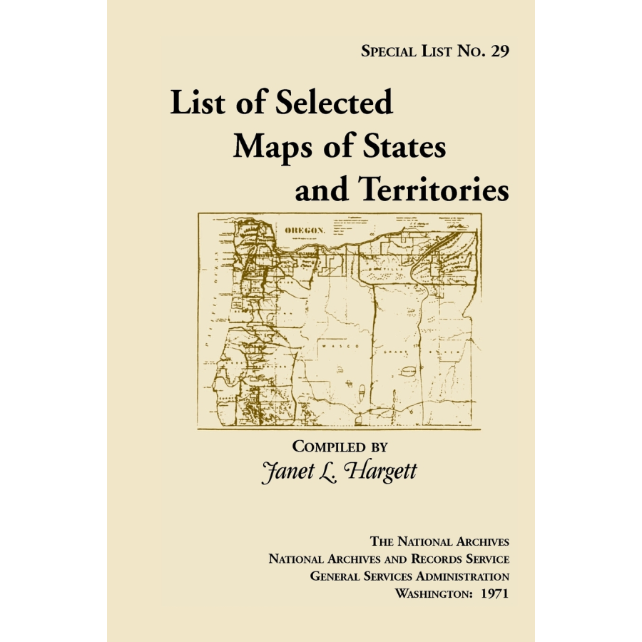
Special List 29: List of Selected Maps and States and Territories
Couldn't load pickup availability
This long out of print finding aid to the collection of approximately 900 maps selected from the holdings of the Cartographic Archives Division of the National Archives. The maps date from the late 18th century to 1920. The list is intended generally for researchers who are seeking general maps of the States and Territories. For example: Entry 256: Map of Indiana and Illinois Territories, compiled from the best authorities for Governor Edwards of the Illinois Territory by R. Paul, 1815. Copy by James Kearney. Scale not indicated. 19 x 23 1/2. Manuscript. Indian villages, rivers, military posts, towns, and General Scott and Governor Edwards traces. Filed as RG 77: US 33-2.
Janet L. Hargett
(1971), 2011, 6" x 9", paper, index, 122 pp.
ISBN: 9781888265163
101-H5016

