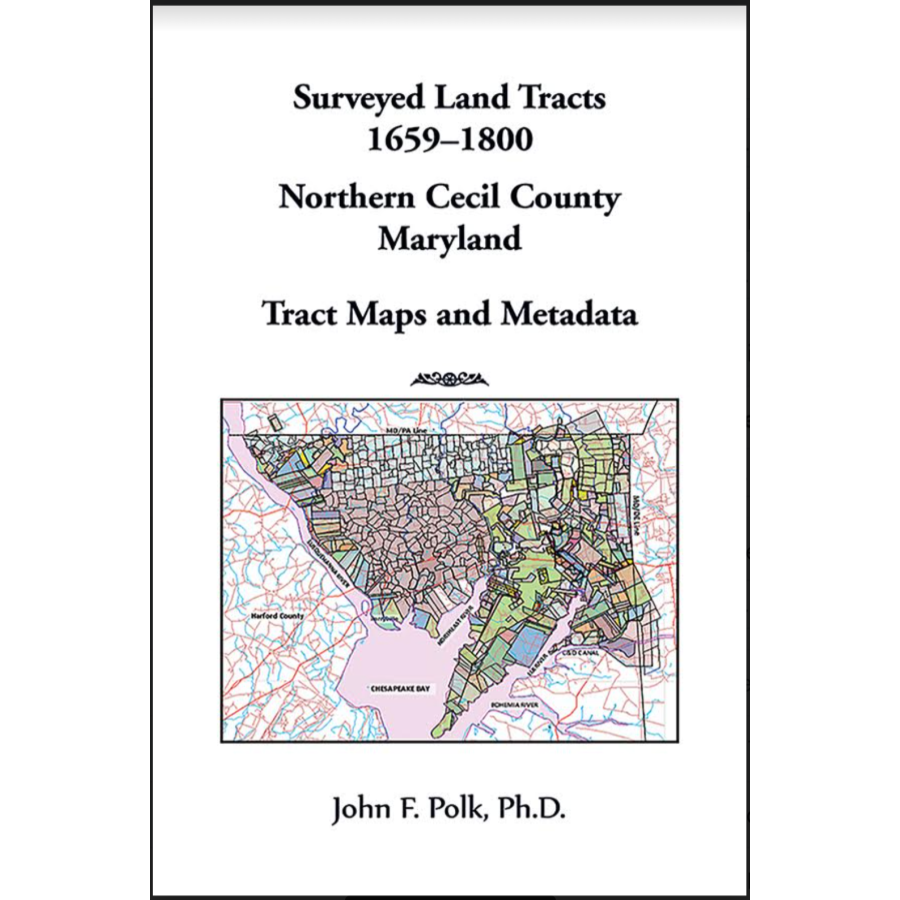
Surveyed Land Tracts, 1659-1800, Northern Cecil County, Maryland Tract Maps and Metadata [oversized]
Couldn't load pickup availability
The Maryland proprietors required that every new land tract in their province be given a name when it was first surveyed. This greatly helps in tracking the tracts' later histories and in assembling tract maps. This practice continued with the State of Maryland land office after the Revolution, so almost every piece of private land in Maryland has its origin with a named tract, with a survey and patent recorded in the Maryland State Archives (MSA).
Using these records, tract maps have been developed to show the location and configuration of the original land tracts surveyed in northern Cecil County, from the Chesapeake and Delaware (C&D) Canal to the Pennsylvania border and the Susquehanna River. Altogether this comprises more than 800 land tracts surveyed between 1659 and 1800. These have been subdivided into seven subareas, each plotted as a separate tract map on large format, single-sided, heavy stock paper for high quality resolution. Metadata for all plotted tracts has been collected into a tabular database compiled alphabetically by tract name. The database also includes entries for tracts not plotted because they were absorbed into later resurveys, overlaid by later tracts, or for other reasons explained in the notes. The following items are tabulated in the database: tract name, tract location, date of survey, date of patent, MSA record citations (survey record, patent record, Cecil County survey certificate, proprietary rent roll), nominal area, calculated area, grantee; with relevant notes.
John F. Polk, Ph.D.
2023, 11" x 17", paper, interior color, 40 pp.
ISBN: 9780788429200
101-P2920
