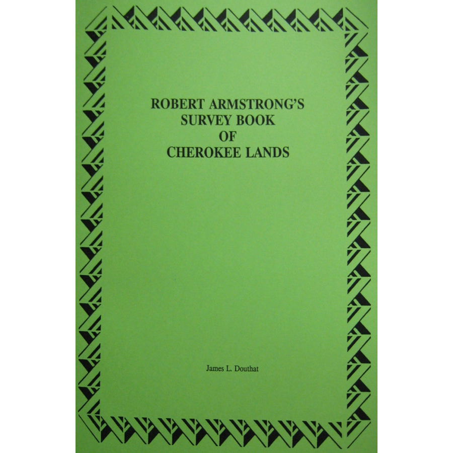
Robert Armstrong's Survey Book of Cherokee Lands: Plat Book of those Indians Given Reservations after the 1817 Treaty
Couldn't load pickup availability
Following the treaty of 1817 with the Cherokee, Secretary of War John C. Calhoun deeded land to each of the Chiefs of the Cherokee that signed the treaty. Each tract was either in the newly ceded lands or in older lands ceded in prior treaties. Each Chief was given 640 acres or one square mile of land. Robert Armstrong was selected to survey the lands in Tennessee, North Carolina and Alabama. Henry Lumpkin was the surveyor in Georgia. The latter's records have disappeared and there is not evidence of these surveyor that have survived. Therefore, the land records that are contained in this volume are those found in the three states surveyed by Armstrong. Included is a time table of when the land was surveyed. It is obvious that Armstrong did not survey all the lands himself. If was impossible to survey four tracts, each one square mile, in one day, much less when the lands are in several different states.
Each entry includes a plat taken from the original survey book, but transcribed descriptions of each of those tracts. Many of the plats can be located on a contemporary map of the area, but many of them it would be impossible from the descriptions. In most cases, the land is set off so as to include the Chief's dwelling in the center of the land.
This volume gives a lot of interesting notes on our Cherokee ancestors and their ability to survive in difficult time.
James L. Douthat
1993, paper, 778 pp.
ISBN: 9780788489709
101E-TN0854
