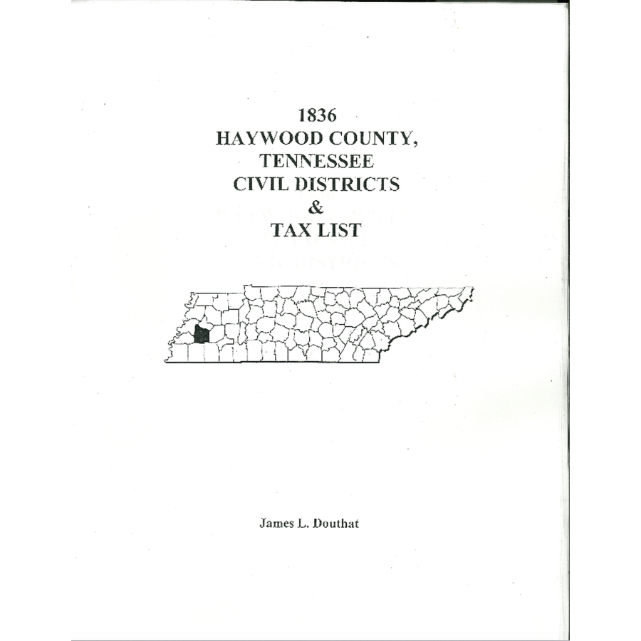
1836 Haywood County, Tennessee Civil Districts and Tax Lists
Couldn't load pickup availability
Haywood County was created on November 3, 1823 from the Western District, or Jackson Purchase as it is sometimes called, and was named in honor of Judge John Haywood. The first thing one notes is that the Civil Districts are all laid out in the "grid" system of land records following the Range/Township lines. In looking closely at the map of the Civil Districts hand drawn at the time by William Conner, surveyor, there is a difference in some of the "precinct" denotations. The names are reversed in one case and different names in other cases to the written descriptions that also were submitted. We have copied them just as they appeared in the original materials. On the Tax Listing, we recorded only the number of acres in that District for each land owner. Using the Deed Books, you can get a clearer picture of the land and owners, but this helps to locate were persons of the same name resided.
Example from this volume:
District Seven:
Page 466
Conner, William - 2 acres
Crooms, Isaac
Clark, James H.
Carlton, Edward - etc. etc.
James L. Douthat
2002, paper, 36 pp.
ISBN: 9780788487552
101E-TN1260
