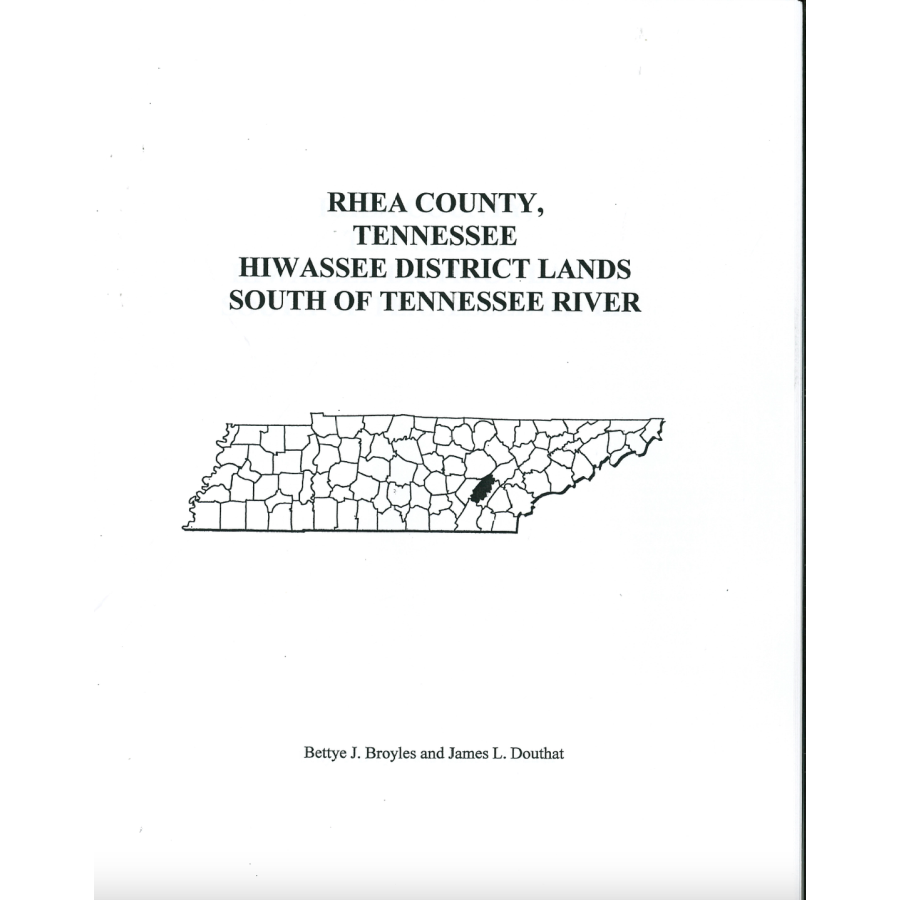
Rhea County, Tennessee Hiwassee District Lands South of Tennessee River
Couldn't load pickup availability
Rhea County today is all on the north side of the Tennessee River, but at the time that the Hiwassee Land District was established, Rhea County was also on the south side of the River. This land became Meigs County in 1836. In the clerk's listing of the tracts of land, there are mistakes since they were not able to determine the north/south or the east/west sections of the grid upon which the District was based. Maps are included to demonstrate some of these errors and especially denoting the boundary of the county of Rhea from McMinn.
Bettye J. Broyles and James L. Douthat
(?), 2016, 8.5" x 11", paper, alphabetical, 32 pp.
ISBN: 9780788485060
101E-TN1427
