Abstracts of Cecil County, Maryland Land Records, 1734-1753
Couldn't load pickup availability
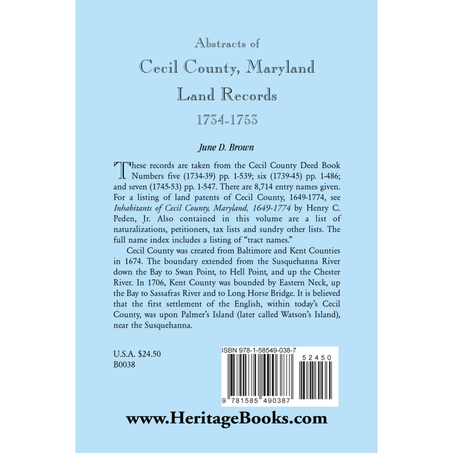
These records are taken from the Cecil County Deed Book Numbers five (1734-39) pp. 1-539; six (1739-45) pp. 1-486; and seven (1745-53) pp. 1-547. There are 8,714 entry names given. For a listing of land patents of Cecil County, 1649-1774, see Inhabitants of Cecil County, Maryland, 1649-1774 by Henry C. Peden, Jr. Also contained in this volume are a list of naturalizations, petitioners, tax lists and sundry other lists. The full name index includes a listing of "tract names." Cecil County was created from Baltimore and Kent Counties in 1674. The boundary extended from the Susquehanna River down the Bay to Swan Point, to Hell Point, and up the Chester River. In 1706, Kent County was bounded by Eastern Neck, up the Bay to Sassafras River and to Long Horse Bridge. It is believed that the first settlement of the English, within today's Cecil County, was upon Palmer's Island (later called Watson's Island), near the Susquehanna.
June D. Brown
(1999), 2002, 5.5" x 8.5", paper, index, 264 pp.
ISBN: 9781585490387
101-B0038

