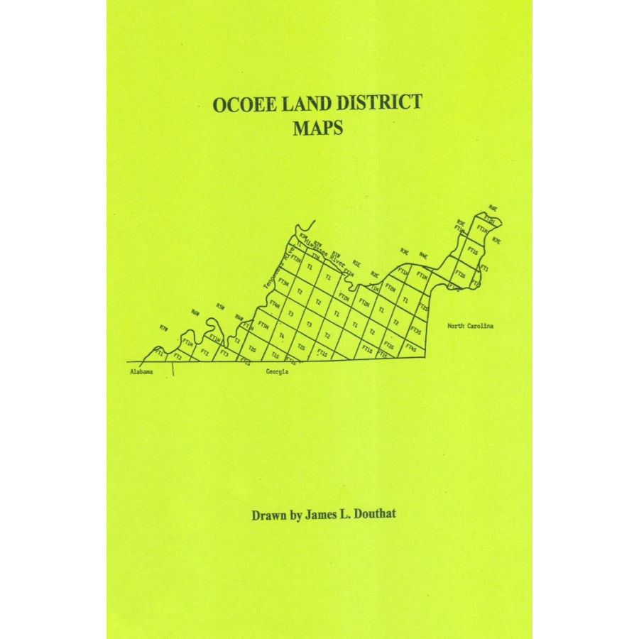
Ocoee Land District [Tennessee] Maps
Couldn't load pickup availability
The Ocoee District was the last of the lands in Tennessee given up by the Cherokee when they went west. It is located south of the Tennessee River and north of the Georgia State Line in Marion, Hamilton, Bradley and Polk Counties. Like most of the lands in a grid system, the maps are drawn in six square mile blocks which are then sub-divided into tracts from 640 acres down to 40 acres.
On these maps, each little block is labeled with the name of the first buyer, the type of purchases, and the amount paid for that tract. In these records, there are many speculators who purchased land for resale. All of the maps are present in this material except for one Range, but we have filled this in from the original grant records. We have shown only the creeks and rivers that were noted on the maps and did not add any additional.
Some of the blocks are designated as "school land" which meant that those acres can be sold by the county and the money is sent to the state to be used in their official universities. Some of the acres are designated as a "mill quarter" which were located on a stream or creek where a mill was located, however not all mills are identified. These mills would have been a holdover from the Cherokee ownership or the whites who operated a mill under Cherokee approval.
We have redrawn 55 maps and this project took over twenty years to complete. In some cases we had to go back to the original maps to read some of the fine print.
James L. Douthat
2013, 8.5" x 11", paper, full name index, 55 Redrawn Maps, 204 pp.
ISBN: 9780788486661
101-TN1383
