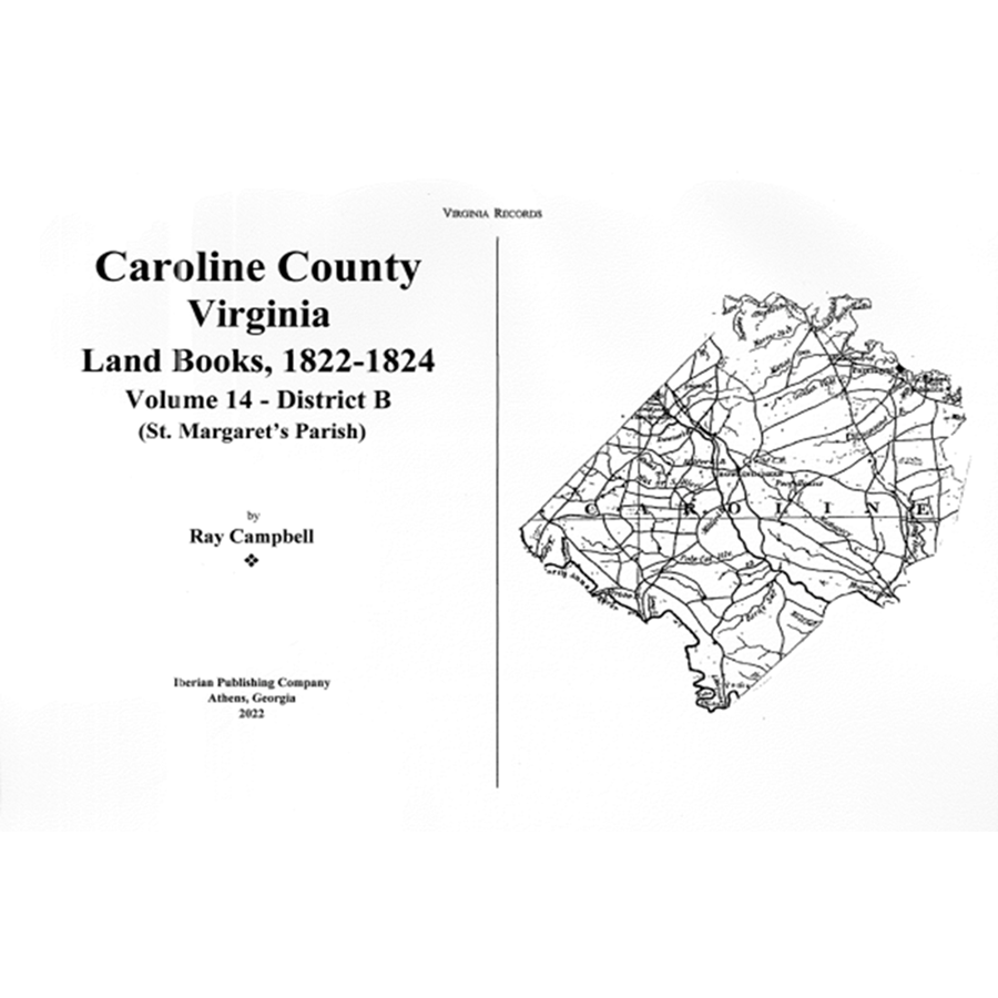
Caroline County, Virginia Land Books, 1822-1824: Volume 14
Couldn't load pickup availability
District B (St. Margaret's Parish)
A continuation of the series, covering the remainder of the county (St. Margaret's Parish).
As the Revolutionary War was winding down and peace negotiations were being held in Paris, the states began to look at their economic prospects and the results of the war. Colonial buying power had dropped by half since 1775 and specie was in extremely short supply. Virginia, like its sister states, was casting in search of permanent sources of revenue for the operation of government.
In 1782 the General Assembly of Virginia enacted a major revision of the tax laws of the commonwealth. The act provided for statewide enumeration on the county level of land and certain personal property. The early land tax law required the tax commissioner in each district to record in "a fair alphabetical list" the names of persons owning land or town lots, the quantity of land owned, the value of the land or lots, and the amount of tax owed. Each tract or lot owned by an individual was to be entered separately.
During the American Revolution, the Committee of Safety for Caroline County divided the county into two districts for defense purposes. District One or A was the area northeast of the Mattapony River (St. Mary's Parish, formerly Essex County) and Drysdale Parish, (formerly King and Queen County). Additionally, St Asaph's Parish was created from the upper end of Drysdale in the year, 1781. District Two or B was the area southwest of the Mattapony River (St. Margaret's Parish, previously King William County, which was a part of King and Queen before its formation). After the American Revolution, the tax rolls for the county carry these designations.
Apparently, the early Commissioners of the Revenue were primarily interested in the total amount of property held, the assessed value and the amount of tax which was due. When additional property was obtained, the Commissioner listed that in a section called the Alterations, which would appear in the year after the transfer occurred. The new acreage was simply added to the old to obtain a total of the proprietor's holdings. No effort was made to identify the properties in relation to each other. They may have been adjacent to each other, near each other or even miles apart as long as they were in the same district. The author has identified the source for each parcel. His notations carry each parcel individually numbered with a notation as to who sold the parcel (grantor) to the land holder (grantee) as well as the year in which it was sold. When acreage was sold by the land holder, he has subtracted the amount from the total and noted to whom it was sold. Sometimes parcels are sold which contain the same acreage as a tract which was obtained and although it is tempting to assume the acreage is the identical property, there is no way to definitively prove this without some further corroboration. Additional to tracking each parcel, the author has alphabetized the land holders as best available due to the lack of standardized spellings.
Ray Campbell
2020
107-CLB14
