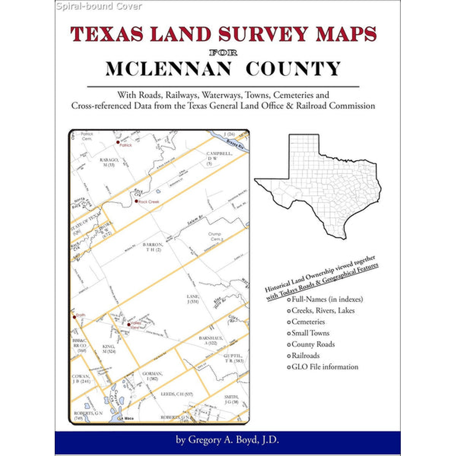
Texas Land Survey Maps for McLennan County
Couldn't load pickup availability
THIS IS A SPECIAL ORDER ITEM
An indispensable book for any researcher interested in McLennan County's history or land (or both), or its first landowners after Texas's Independence from Mexico. Each book in this series is laid out into multiple maps using a 6 mile high by 4 mile wide grid.This book contains 65 Survey maps laid out within this grid. Each Land Survey Map shows the boundaries of original parcels laid out over existing roads, railroads, waterways. These are shown as well as the original Survey-Name and the Abstract Number assigned by the Texas General Land Office to the instrument that gave ownership to that parcel.The book includes an all-name index for everyone mentioned in the maps, as well as supplemental maps showing the location of the county within the state, the surrounding counties, and index maps for the individual land survey maps. Community center points and cemeteries listed in the USGS database are included on the land survey maps.
What Cities and Towns are in McLennan County, Texas (and in this book) Asa, Atco, Axtell, Bannas Junction, Battle, Bellmead, Beverly, Beverly Hills, Blackland, Bosqueville, Bruceville, Bruceville-Eddy, Caldwell Crossing, China Springs, Cottonwood, Crawford, Downs, Downsville, East Waco, Eddy, Eichelberger Crossing, Elk, Elm Mott, Erath, Gholson, Hallsburg, Harrison, Hewitt, Highland, Hoen, Jewell, Lacy-Lakeview, Lake Creek, Leroy, Levi, Lorena, Mart, McGregor, Moody, Neale, Northcrest, Oaklake, Ocaw, Ocee, Patrick, Riesel, Ritchie, Robinson, Rock Creek, Rogers Hill, Rosenthal, Ross, South Bosque, Speegleville, Spring Valley, Tokio, Tours, Valley View, Vemo, Waco, Wardlaw, West, Wiggins, Willow Grove, Windsor, Woodway
Gregory A. Boyd, J.D.
2012, 8.5" x 11", spiral-bound, 70 maps, 218 pp.
ISBN: 9781420351606
150-5160
